Published on 18-03-2022
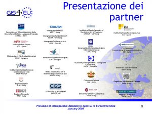
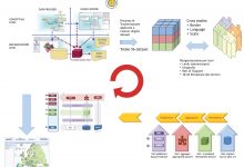
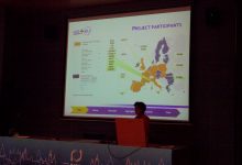
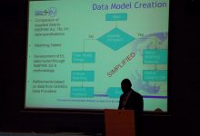
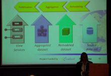
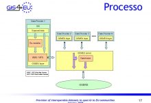
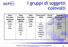
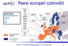
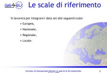
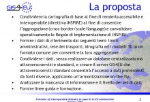
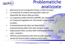
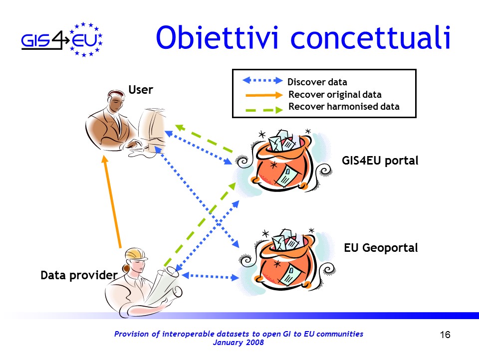
In Europe, the situation regarding spatial information is characterized by the lack of harmonization between datasets at different geographical scales, by the relative fragmentation of sources, by their discontinuity and duplication in the collection and management of the data themselves. The aim of the project is therefore to develop a data model to harmonize the datasets made available by the project, to define the rules for integration, exposure and aggregation. Furthermore, a further aim of the project is to define guidelines in order to allow access to the datasets made available by the different cartographic authorities of different countries and at different scales (national, regional and provincial), without building a single central database. The guidelines and procedures will be developed by applying examples on data samples, which will be made available to the public via the GIS4EU portal. In Europe, spatial information is characterized by a lack of harmonization between datasets at different geographical scales, fragmented datasets and different sources, gaps in availability and duplication of information. Therefore, the GIS4EU project intends to develop a common data model and support tools for the evaluation of common standards, to allow access to coherent and homogeneous reference data provided by cartographic authorities of different countries and levels (national, regional and local ), using the INSPIRE models and according to the requirements of the INSPIRE Directive (2007/2 / EC). The GIS4EU project is made up of more than 25 different partners covering almost the whole of Europe and representing all kinds of actors: researchers, data providers, technicians and end users. All partners have particular experience and, through the exchange of knowledge and interdisciplinary work, can deal in depth with the complex technical aspects related to the operational implementation of the INSPIRE Directive. Indeed, the GIS4EU project represents the first step to overcome the complex and difficult integration of data from different practices on a European scale. The final results, developed with the collaboration of all the necessary actors involved in the development of a GSDI, will provide the results of a series of real cases and will develop operational and practical instructions for the implementation of the INSPIRE Directive. All types of European IMs, Environmental and Risk Agencies managing maps, land registers, infrastructures and environmental issues will benefit greatly from the results of GIS4EU. GIS4EU. Schema concettuale e operativo. GIS4EU – eContent-DG INFO
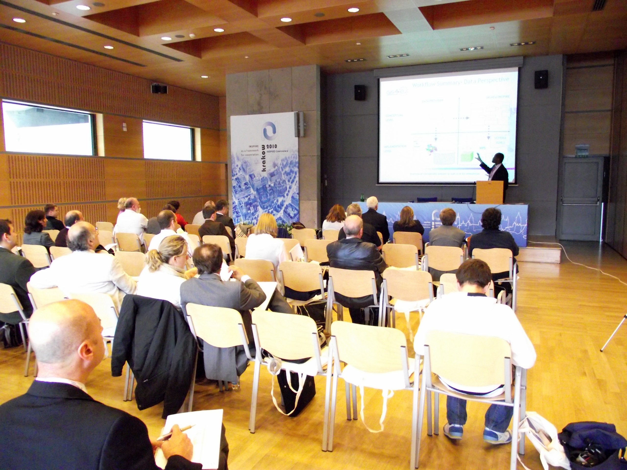
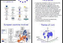
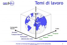
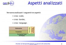
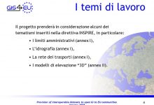
The GIS4EU project aims to make available a set of basic cartographic datasets at the European level, relating to the themes of administrative limits, hydrography, the transport network and the digital land model. In particular to ensure the relative interoperability at different geographical scales, in relation to the different languages and with the different national limits.
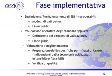
During the project, activities will be carried out for the validation of the standards and the implementation rules of INSPIRE, in order to provide a validation table for the spreads and the general rules produced.
Therefore, the full implementation of the project will lead to significant and significant progress in the accessibility, use and exploitation of reference data across Europe.
The goal of the GIS4EU project is to model and test an infrastructure to share map data and feature layers, in order to make them more accessible and share information more easily. This must be achieved without creating a central database, rather by sharing information and data through standard services. The project will provide basic map datasets for Europe on the following themes: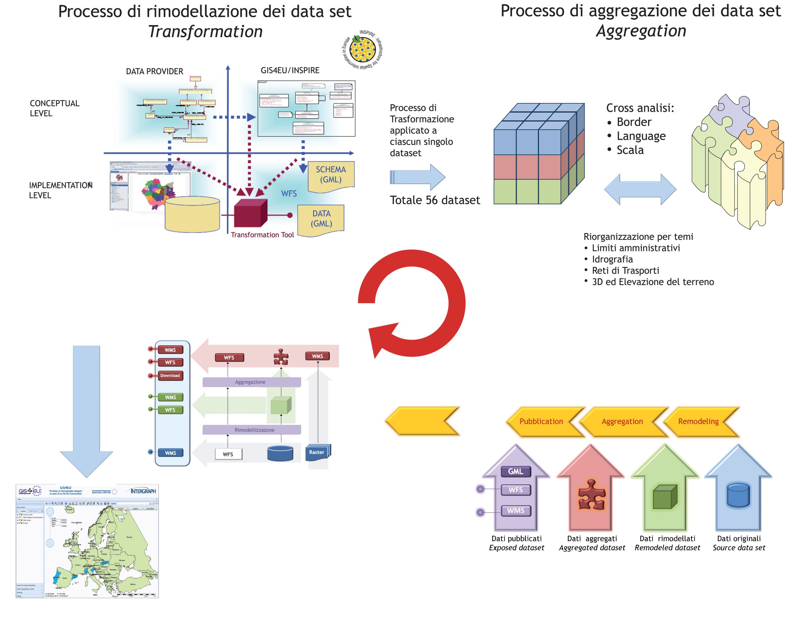
Media


